 Contact Us
 Register
Information
Suggestion
Weather Forecasting Department ( WF ) in IMD is concerned with Analysed Weather Charts, where all the charts are manually marked minutely with everydays events and weather parameters, this Research and Scientific selected on Daily basis and recorded in various RC's and RMC's .. [Read More]
QC and Inspection by Management Team
Quality Control and inspection rounds/checks were strictly done by the Committee Members and concerned Department Heads where in actual work progress was monitored, charts were manually inspected to see the changes in that were taking place in Charting Rules after every Decade
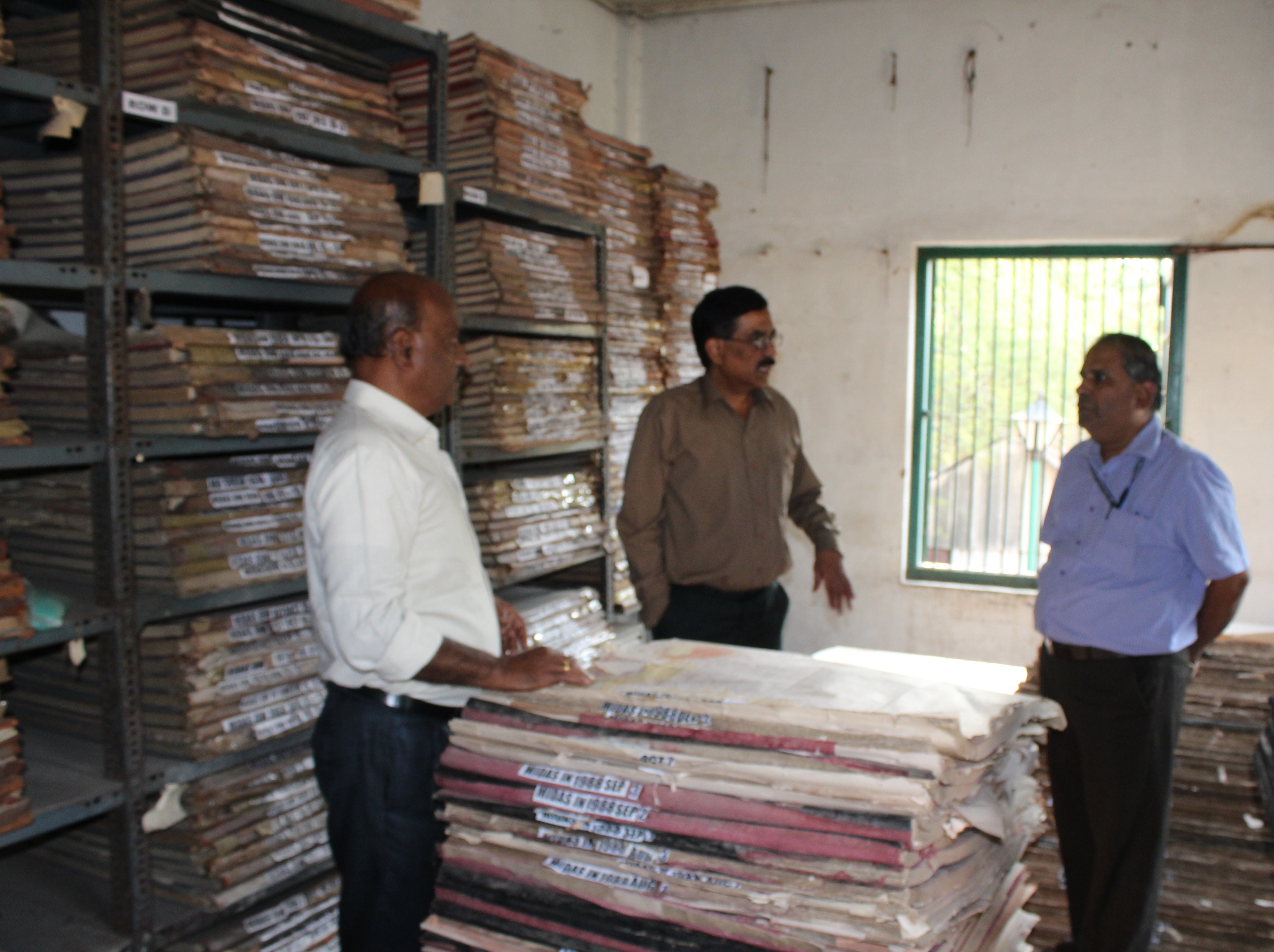
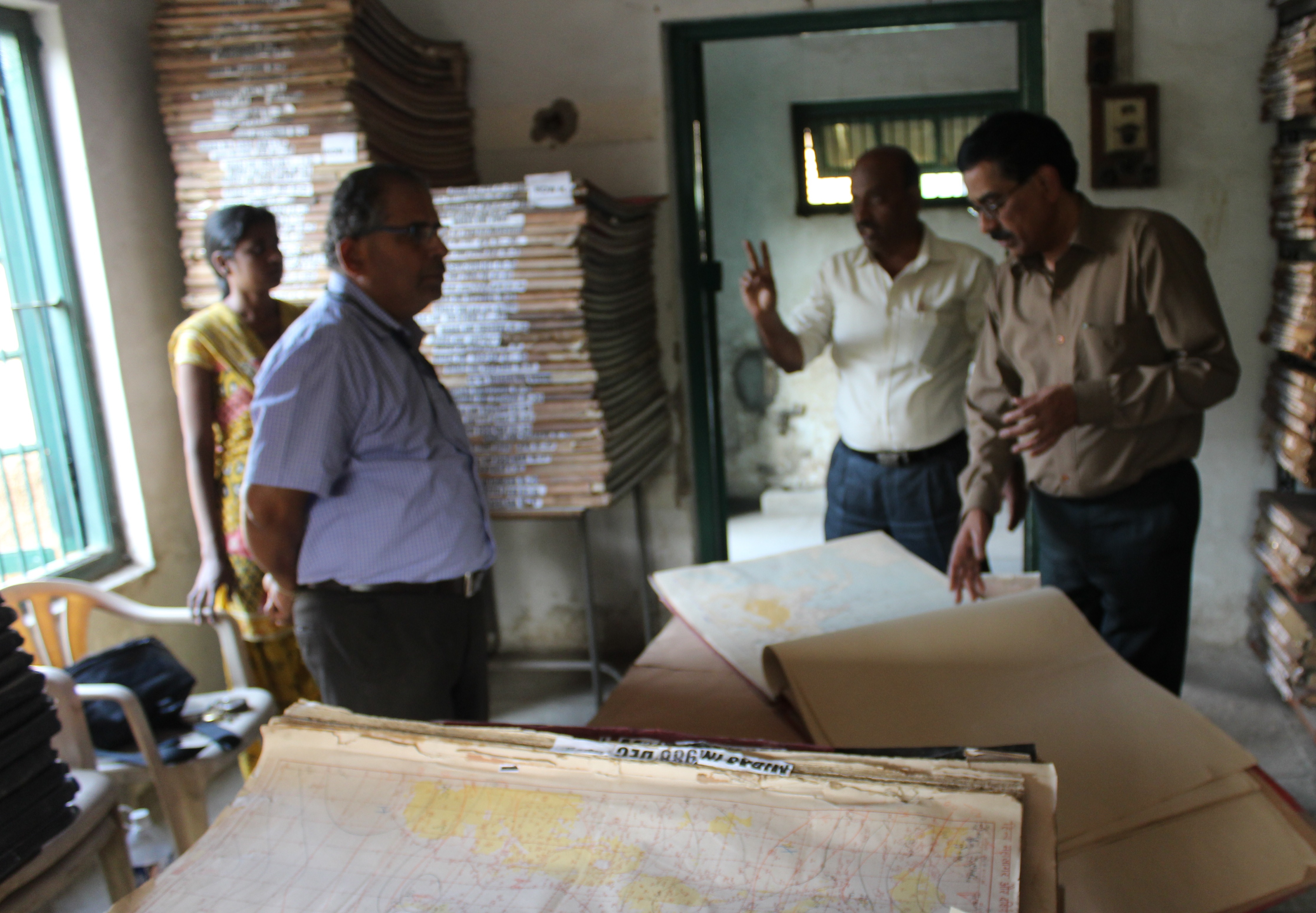
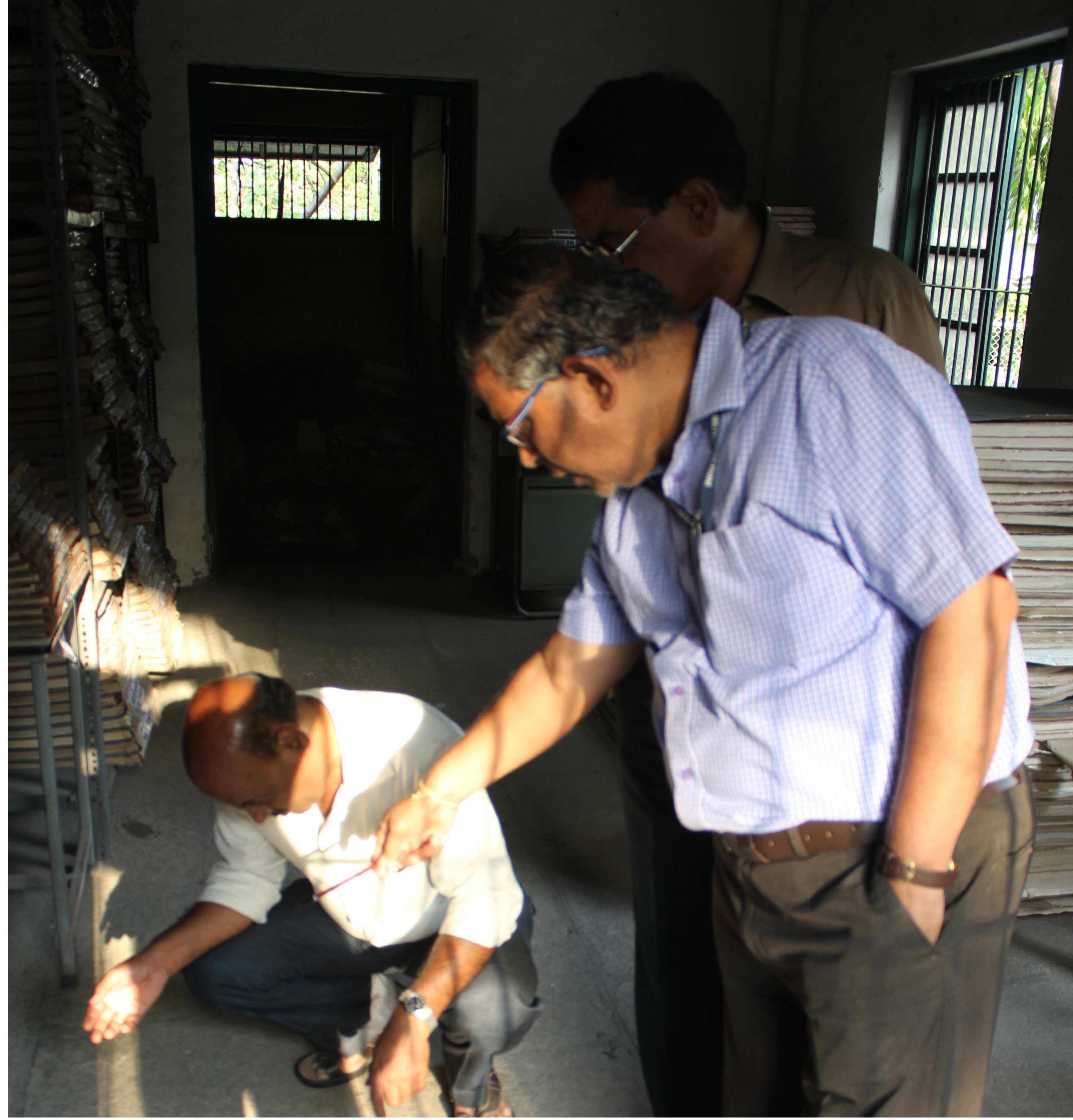
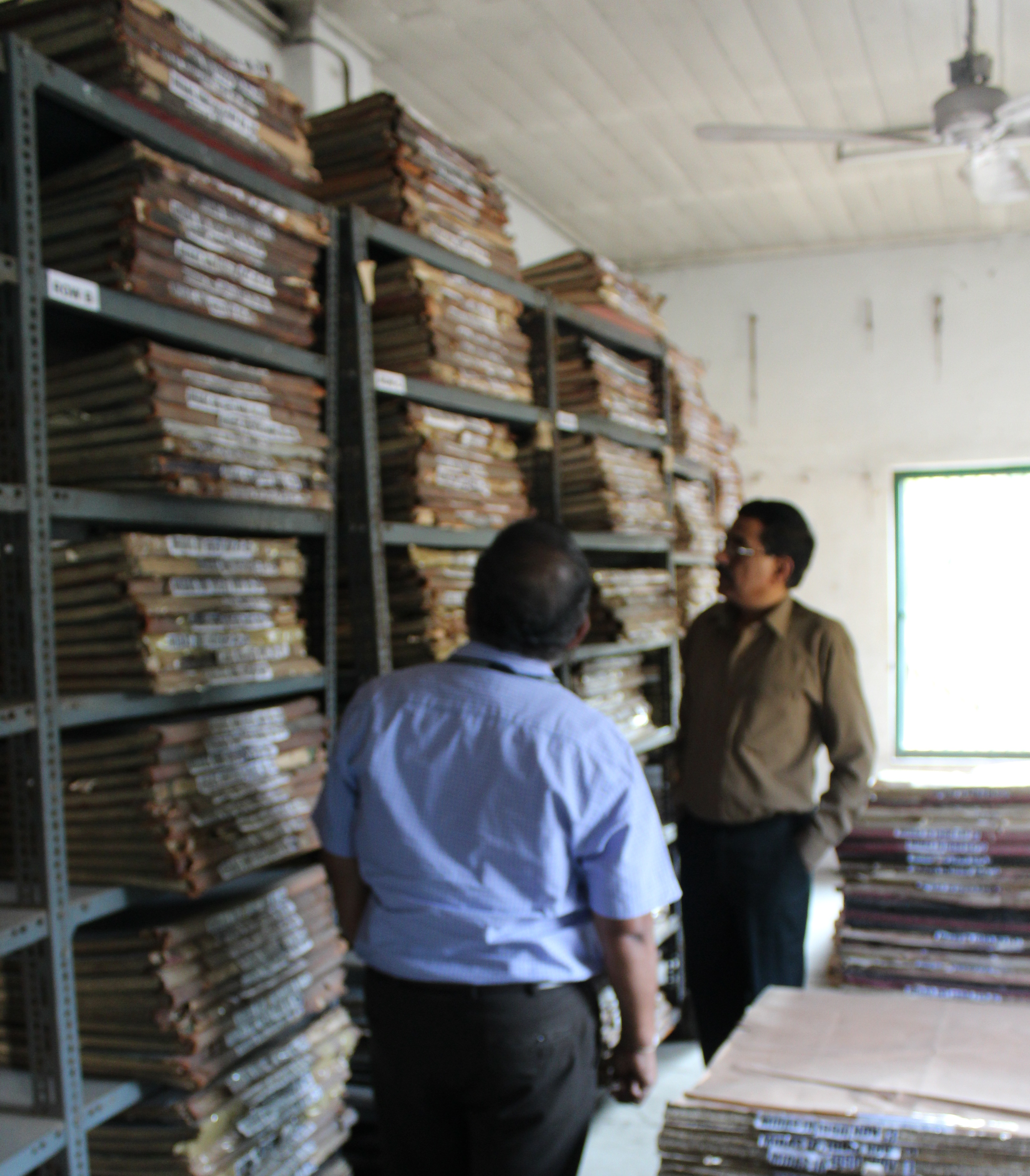

Inspection and Q.C was done by the Committee members frequently on different task on different locations the task were as follows
ANALYSED WEATHER CHARTSIMPORTANCE OF ANALYSED WEATHER CHARTS RESCUE / DIGITALISE / INTEGRATE WITH INTERNET
The main objective of this programme is with the perspective to preserve the old Weather Charts / Climate Records / Data available in manuscripts / paper forms as initiated by WMO since 2000, the original proposal was approved by the CMAS – the apex body for IMD Projects / Plans, the final approval of the Plans took during the year 2006-07 and the first PILOT Project of 15000 Weather Charts ( of sizes A0 to A3 ) dating back to the period 1969 were selected to assess the feasibility of Digital Photography Works, this project was OUTSOURCED, the study of Technical and Physical Aspects of the programme was carried out under the supervision of NDC ( National Data Center )
The results were good and it was decided by NDC and WF that further Digital Photography of analysed weather charts be carried out but this time case study was done and few points were added one of the points was a dedicated website was finalized for the analysed weather charts with various search parameters which was a grand success and it was decided that remaining analysed weather charts present at various locations to be Digitally Photographed and now this is the final leg in which all the remaining analysed weather charts which were still not photographed to be searched and photographed.
Making old important Data available Digitally to its users serves many important aspects first and most important one is that we are humans living on this earth sharing all its resources, so it becomes our prime duty to understand mother nature and share all the information regarding with the world community who are studying and analyzing Weather and warning us of future problems which we could face using the old precious data available throughout the world
- >> THE CHARTS CONSISTED OF FOLLOWING CATEGORIES
- >> CONSTANT PRESSURE CHARTS
- >> DAILY WEATHER CHARTS
- >> INOSHAC CHARTS
- >> SURFACE CHARTS
- >> UPPER AIR CHARTS
- >> INTERNATIONAL CHARTS
- >> SHIP COMPOSITE CHARTS