 Contact Us
 Register
Information
Suggestion
Weather Forecasting Department ( WF ) in IMD is concerned with Analysed Weather Charts, where all the charts are manually marked minutely with everydays events and weather parameters, this Research and Scientific selected on Daily basis and recorded in various RC's and RMC's .. [Read More]
WHY DATA RESCUE SCHEME WAS NECESSARY
DATA RESCUE SCHEME was necessary to be implemented because of the following reasons :-
- ACCESSIBILITY - This Data was inaccessible because it was stored in various store rooms in random manner along with other Sheets of Data, it took weeks and sometimes months to trace a particular charts
- To Search a specific Sheet it was impossible for the IMD officers to access the old data, so the officer were depended only on the latest 3-5 years of Data for Analysis and Research Purposes
- VALUABLE DATA – this data of such great importance was lying unused
- Since this Data was very old some Paper Sheets started Decaying and were deteriorating day by day and there was possibility of losing all the important Data
- In future this Data can also be used by various other Governmental Bodies for their Research work and linked to their DataBases
- This Data can also be used in Collaboration with other Global Community and Countries for better Analysis and Forecasting
- VALUABLE FOR FORECASTING AND ANALYSIS – Once the data is Digitally Photographed, named and proper search engine be developed this valuable data would be made available to the Scientific Community just by the click of mouse
Pictures of Damaged Weather Charts –
One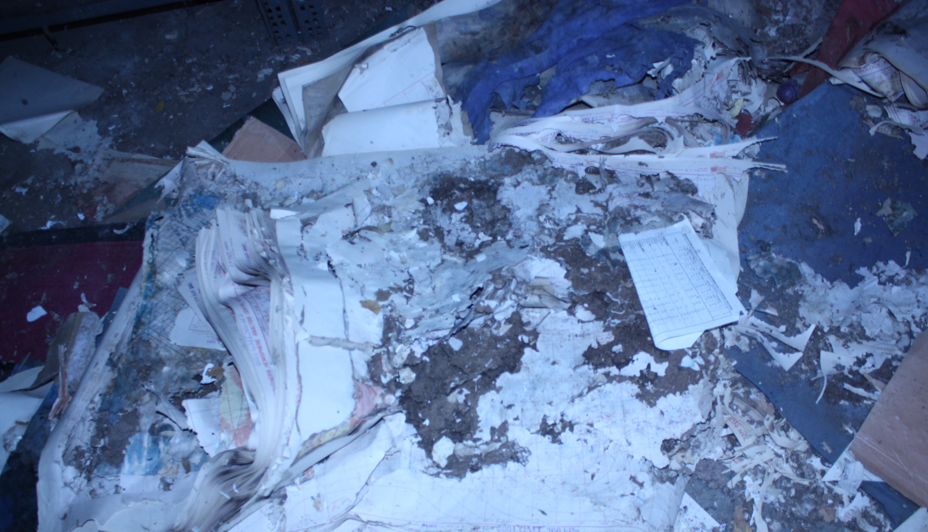
Two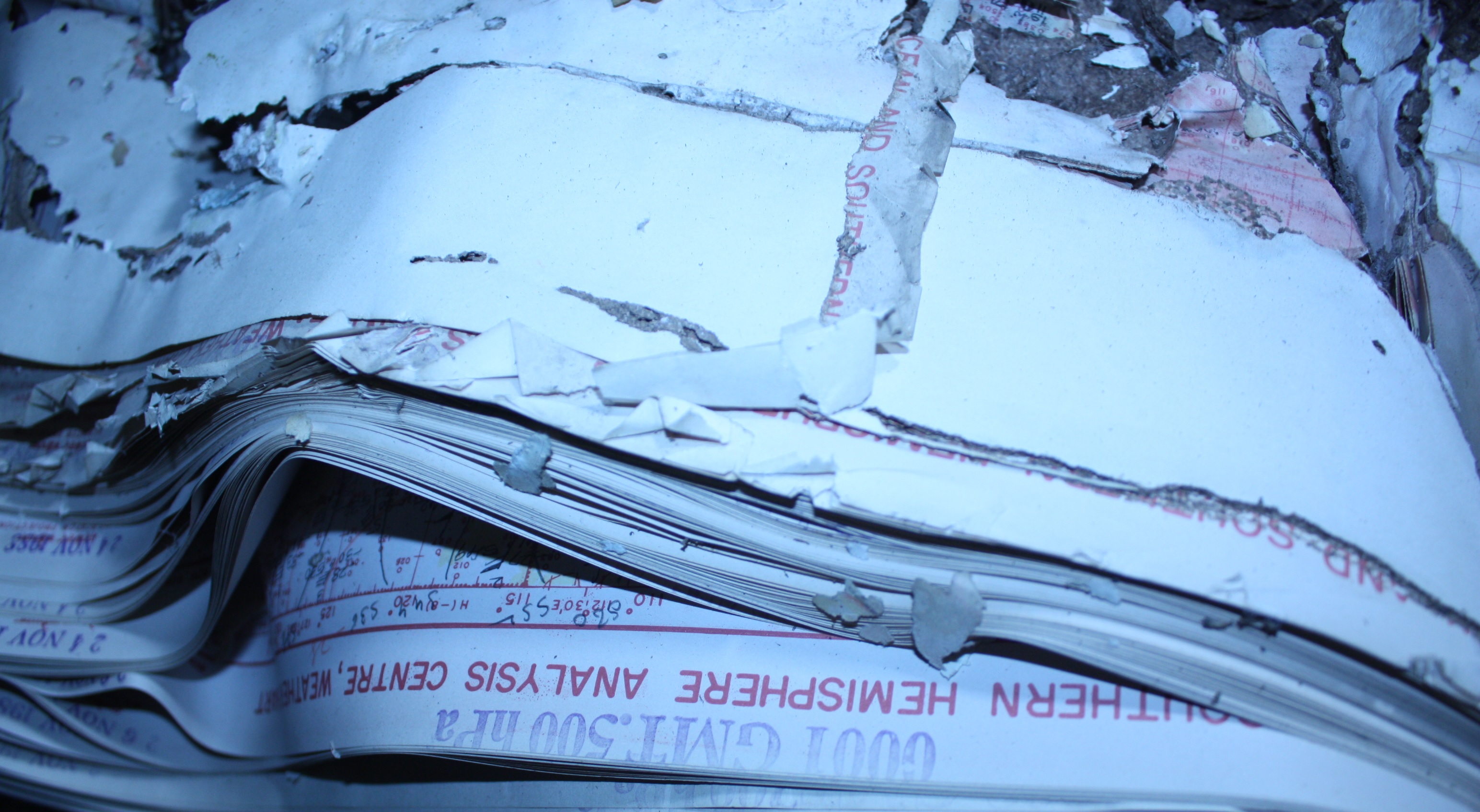
Eaten by Termites
One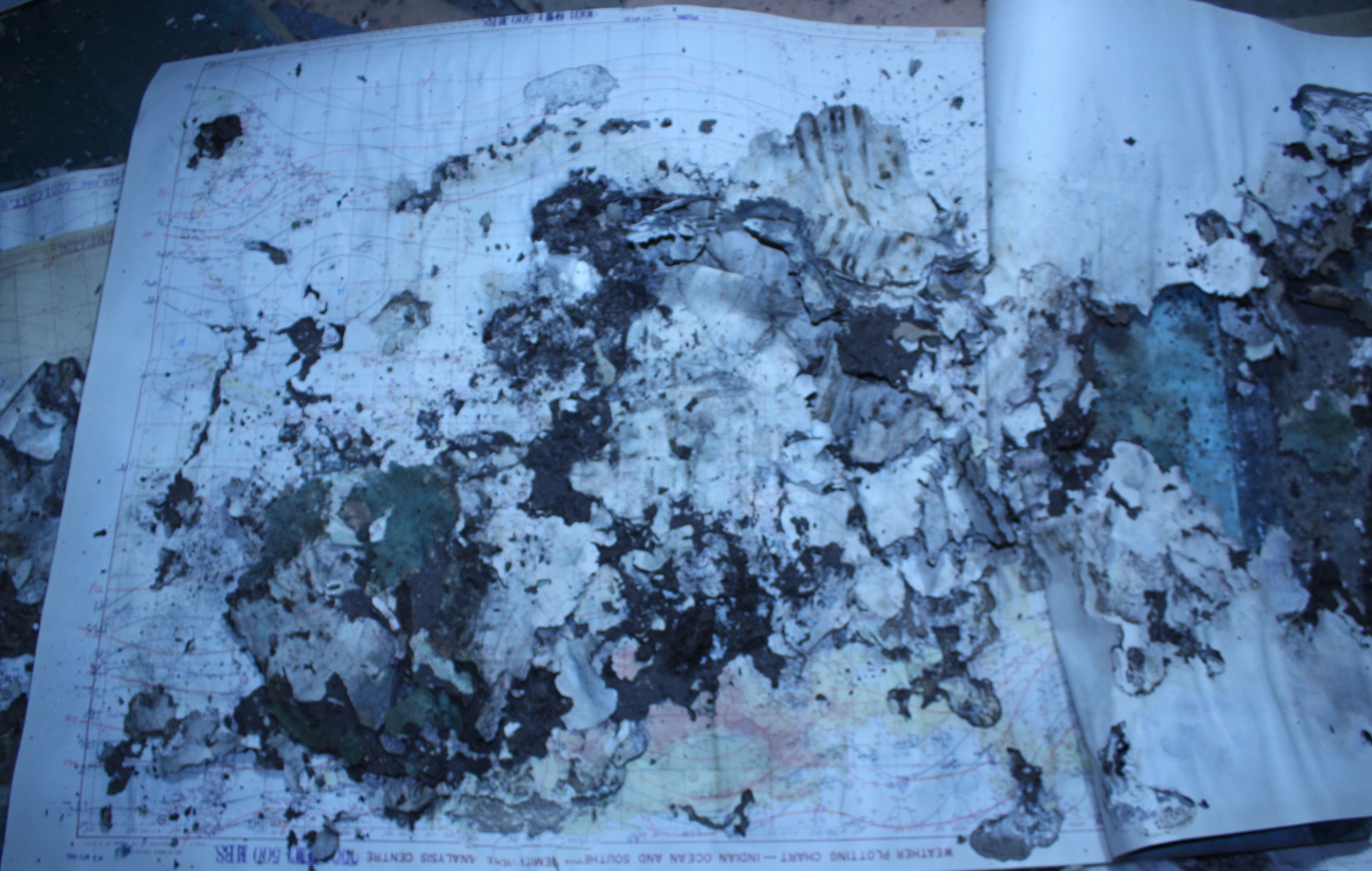
Two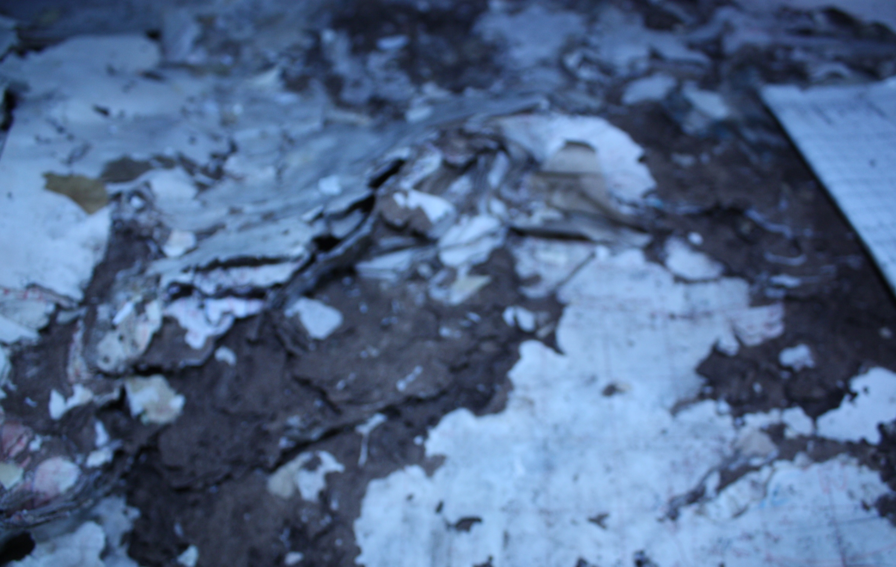
Condition of some of the Store Rooms was very critical
Store Room Roof Collapsed Rain Water Seeping in Damaging the Weather Charts kept in the Store Room
One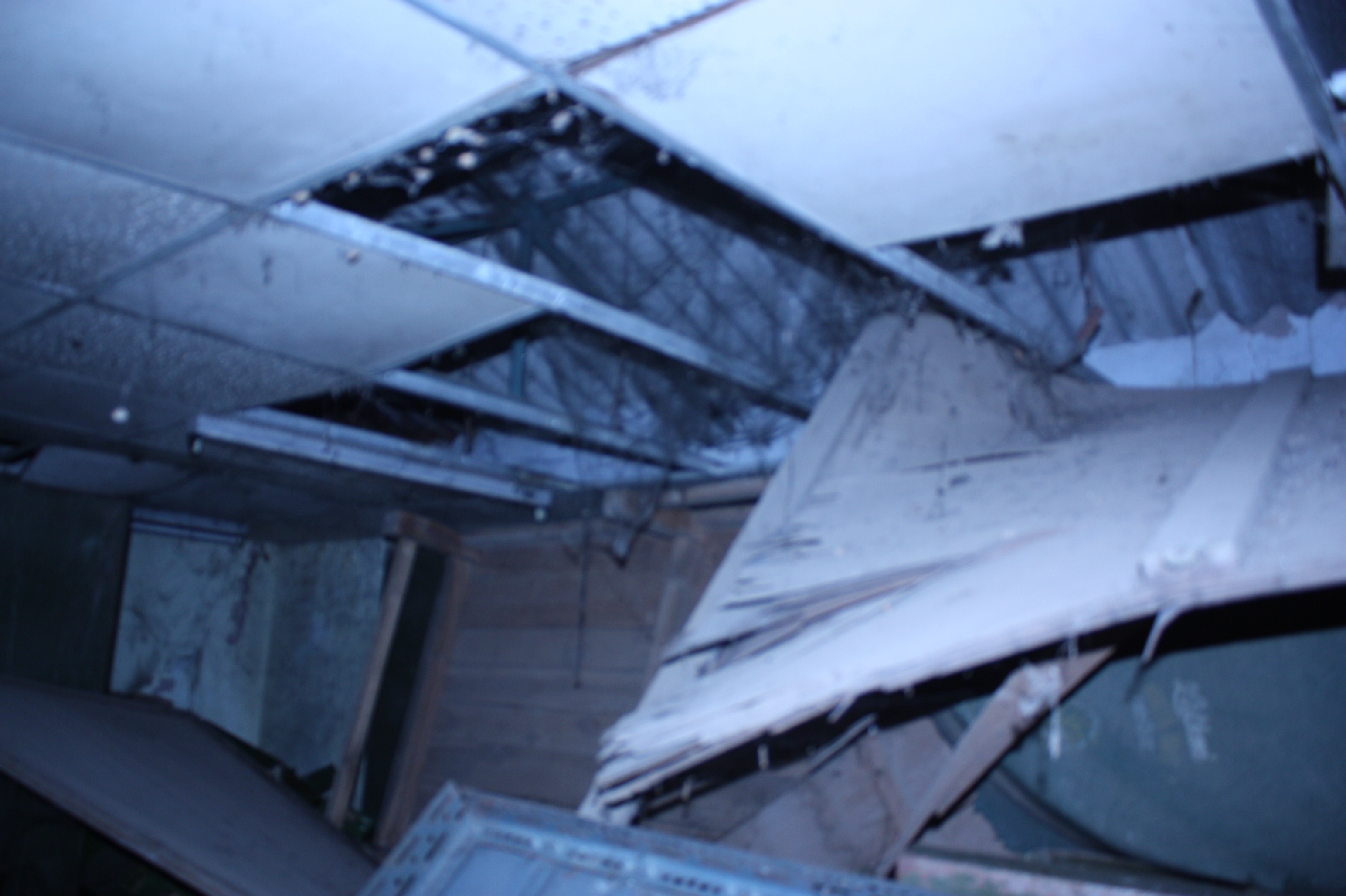
Damaged State of Weather Charts in Store Rooms
One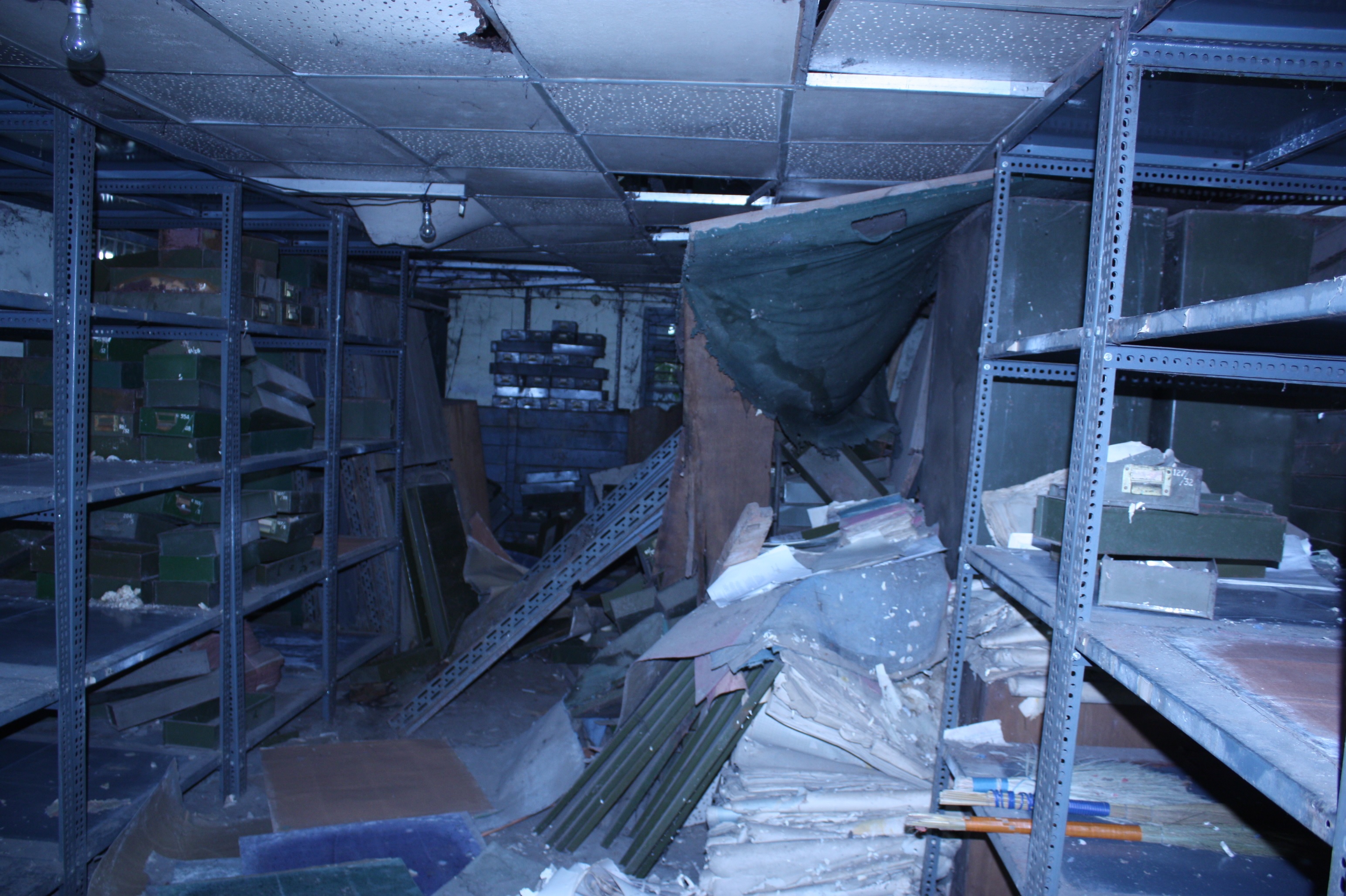
Rain Water Damaged Weather Charts kept in Racks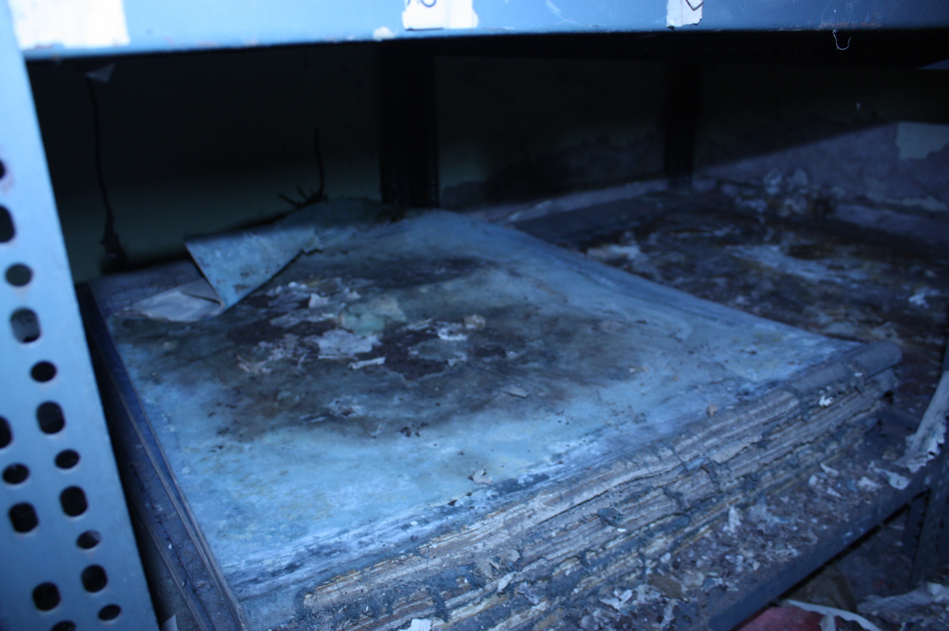
- Digititalisation had to be done to urgently to stop the further damage of the Weather Charts
- Since these DATA was there on Paper Sheets of various Sizes this Data had to be brought on Uniform Digital Format in a smart way where it could be accessed by a click of the mouse
- Once the DATA is rescued a professional Search Engine could be developed to access and utilize these DATA
- How did we photographed the charts that were torn, partially cut, eaten by termites ?
- For Torn Maps or Maps eaten by termites
- We had to first see or rather identify which part of the Map/Chart is eaten by the termite if the part containing the Date and height is missing the Map is useless but if the sign of the officer is along with the Date still the Map can be
- First the Damaged or the cut Map/Weather Chart is to be sticked with the tape and than has to be mounted on the map holder stand which was specially designed to hold the chart against the blank back ground (i.e white paper as background) or base map which is exactly the same as a background